
Country United States FIPS code 27-13978 Elevation 378 m Population 2,193 (2013) Area code 218 | Time zone Central (CST) (UTC-6) GNIS feature ID 0642486 Zip code 56442 Local time Saturday 5:59 PM | |
 | ||
Weather 3°C, Wind SE at 19 km/h, 59% Humidity Area 95.54 km² (66.67 km² Land / 28.88 km² Water) | ||
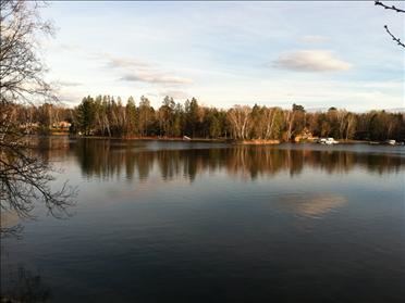
Crosslake is a city in Crow Wing County, Minnesota, United States. The population was 2,141 at the 2010 census. It is part of the Brainerd Micropolitan Statistical Area.
Contents
Map of Crosslake, MN, USA
Geography
According to the United States Census Bureau, the city has a total area of 36.89 square miles (95.54 km2), of which 25.74 square miles (66.67 km2) is land and 11.15 square miles (28.88 km2) is water. Main routes include County Roads 3, 16, 36, 66, and 103.
Crosslake is part of the Brainerd Lakes Area.
History
Crosslake was incorporated in 1959. In 1972, nearby North Cross Lake was formally absorbed into the city of Crosslake.
2010 census
As of the census of 2010, there were 2,141 people, 1,027 households, and 651 families residing in the city. The population density was 83.2 inhabitants per square mile (32.1/km2). There were 2,799 housing units at an average density of 108.7 per square mile (42.0/km2). The racial makeup of the city was 98.5% White, 0.3% African American, 0.3% Native American, 0.1% Asian, 0.1% from other races, and 0.7% from two or more races. Hispanic or Latino of any race were 0.2% of the population.
There were 1,027 households of which 17.1% had children under the age of 18 living with them, 56.9% were married couples living together, 3.6% had a female householder with no husband present, 2.9% had a male householder with no wife present, and 36.6% were non-families. 31.9% of all households were made up of individuals and 16.6% had someone living alone who was 65 years of age or older. The average household size was 2.08 and the average family size was 2.59.
The median age in the city was 56.1 years. 16.1% of residents were under the age of 18; 3.3% were between the ages of 18 and 24; 15.7% were from 25 to 44; 30.9% were from 45 to 64; and 34% were 65 years of age or older. The gender makeup of the city was 49.9% male and 50.1% female.
2000 census
As of the census of 2000, there were 1,893 people, 899 households, and 623 families residing in the city. The population density was 73.8 people per square mile (28.5/km²). There were 2,477 housing units at an average density of 96.6 per square mile (37.3/km²). The racial makeup of the city was 99.52% White, 0.05% African American, 0.05% Native American, 0.05% Asian, 0.05% from other races, and 0.26% from two or more races. Hispanic or Latino of any race were 0.69% of the population. 29.6% were of German, 19.8% Norwegian, 15.9% Swedish, 5.8% English and 5.0% American ancestry according to Census 2000.
There were 899 households out of which 15.9% had children under the age of 18 living with them, 64.0% were married couples living together, 3.3% had a female householder with no husband present, and 30.6% were non-families. 27.8% of all households were made up of individuals and 12.3% had someone living alone who was 65 years of age or older. The average household size was 2.11 and the average family size was 2.52.
In the city, the population was spread out with 14.7% under the age of 18, 3.1% from 18 to 24, 18.9% from 25 to 44, 32.0% from 45 to 64, and 31.4% who were 65 years of age or older. The median age was 56 years. For every 100 females there were 102.0 males. For every 100 females age 18 and over, there were 100.9 males.
The median income for a household in the city was $41,125, and the median income for a family was $45,990. Males had a median income of $40,345 versus $23,636 for females. The per capita income for the city was $27,227. About 2.7% of families and 4.5% of the population were below the poverty line, including 7.5% of those under age 18 and 4.8% of those age 65 or over.