
Elevation 1,018 m | Topo map USGS Sherwood Mountain range Blue Ridge Mountains | |
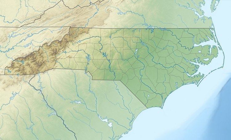 | ||
Location Watauga County, North Carolina, U.S. | ||
Crossing Knob is a mountain in the North Carolina High Country, west from the community of Sugar Grove. The mountain is within the Pisgah National Forest and its elevation reaches 3,340 feet (1,018 m). The mountain is flanked by the Watauga River on three sides and US 321 along its south.
Map of Crossing Knob, Laurel Creek, NC 28679, USA
References
Crossing Knob Wikipedia(Text) CC BY-SA