
 | ||
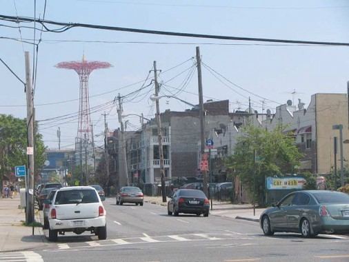
Cropsey Avenue is a major street in Brooklyn, New York. It generally runs northwest-southeast, from Poly Place/14th Avenue in Bath Beach to Neptune Avenue/West 17th Street in Coney Island. It forms the northeastern boundary of Dreier Offerman Park.
Contents
Map of Cropsey Ave, Brooklyn, NY, USA
Cropsey Avenue intersects the Belt Parkway at exits 6-N and 6-S. South of its bridge crossing Coney Island Creek, Cropsey Avenue continues as West 17th Street at Neptune Avenue. For about half of its length (south of 23rd Avenue), Cropsey Avenue has a central median, making it a divided highway/boulevard.
The street is named for the Cropsey family, one of the first to settle in New Utrecht.
Public transportation
Cropsey Avenue is served by the following New York City Bus routes:
Additionally, the New York City Subway's BMT West End Line (D train) runs parallel to Cropsey Avenue, three blocks northeast on 86th Street, between 18th Avenue and 25th Avenue.