
 | ||
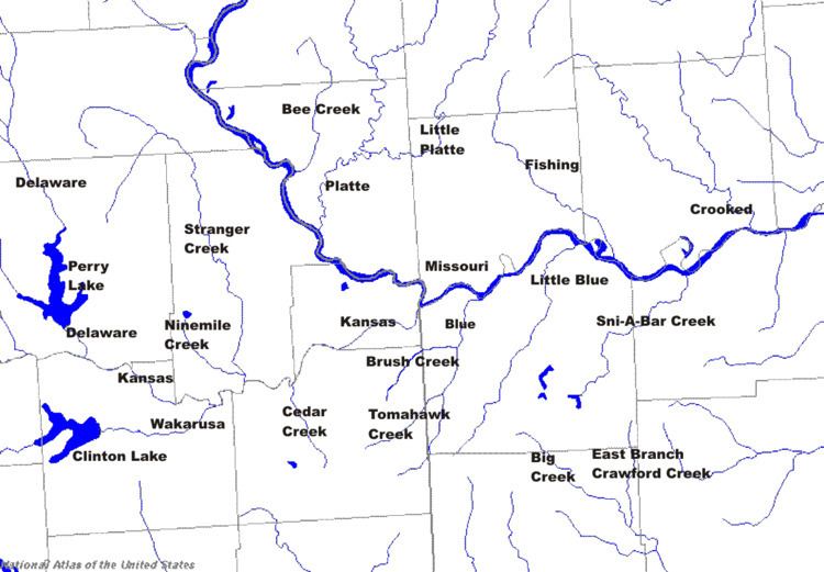
The Crooked River is a 71.4-mile-long (114.9 km) tributary of the Missouri River in west-central Missouri in the United States. The river was the site of the Battle of Crooked River during the Mormon War of 1838. According to the Geographic Names Information System, the stream has also been known historically as "Big Creek," "Little River" and "Tiger River." The Crooked River was named for its meandering disposition. Big Creek refers to the stream's status as the largest tributary to the Missouri River in the county.
The Crooked River rises east of Lathrop in southeastern Clinton County and flows generally southeastwardly through Caldwell and Ray counties. In southwestern Ray County it collects the short East Fork and West Fork and flows into the Missouri River, about 4 miles (6 km) south of Hardin.