
Country Bahamas Time zone EST (UTC−5) Area code 242 | District 1999 Area 148 km² | |
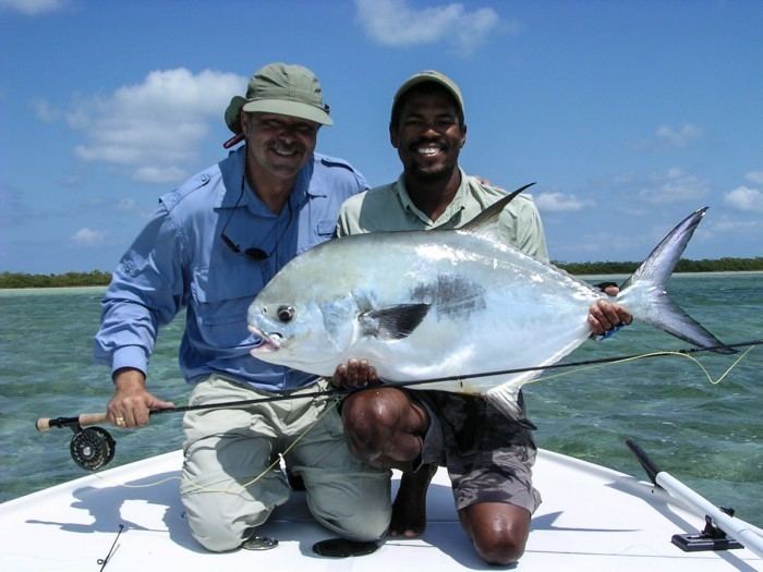 | ||
Fly to crooked island bahamas
Crooked Island is an island and district, part of a group of Bahamian islands defining a large, shallow lagoon called the Bight of Acklins, of which the largest are Crooked Island in the north and Acklins in the south-east, and the smaller are Long Cay (once known as Fortune Island) in the north-west, and Castle Island in the south.
Contents
- Fly to crooked island bahamas
- Map of Crooked Island The Bahamas
- HistoryEdit
- PopulationEdit
- TransportationEdit
- References
Map of Crooked Island, The Bahamas
HistoryEdit
The islands were settled by American Loyalists in the late 1780s who set cotton plantations using over 1,000 slaves. After the abolition of slavery in the British Empire these became uneconomical, and the replacement income from sponge diving has now dwindled as well. The inhabitants now live by fishing and small-scale farming.
It is believed that the first Post Office in the Bahamas was at Pitt’s Town on Crooked Island.
PopulationEdit
The main town in the group is Colonel Hill (pop. 51) on Crooked Island.
The population of Crooked Island was 330 at the 2010 census.
TransportationEdit
The island is served by Colonel Hill Airport.