
Time zone CST (UTC-6) Elevation 185 m Local time Saturday 2:29 PM | Established November 6, 1860 ZIP codes 62420, 62428 Area 88.5 km² Population 422 (2010) | |
 | ||
Weather 13°C, Wind SE at 14 km/h, 45% Humidity | ||
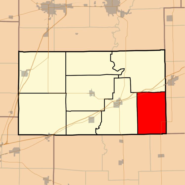
Crooked Creek Township is one of eight townships in Cumberland County, Illinois, USA. As of the 2010 census, its population was 422 and it contained 204 housing units.
Contents
- Map of Crooked Creek Township IL USA
- Geography
- Unincorporated towns
- Cemeteries
- Major highways
- School districts
- Political districts
- References
Map of Crooked Creek Township, IL, USA
Geography
According to the 2010 census, the township has a total area of 34.17 square miles (88.5 km2), all land.
Unincorporated towns
Cemeteries
The township contains these five cemeteries: Church of Christ, Church of God, Duck Pond, Ruffner and Washington.
Major highways
School districts
Political districts
References
Crooked Creek Township, Cumberland County, Illinois Wikipedia(Text) CC BY-SA