
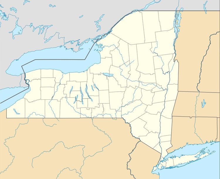
State New York | Highest elevation 299 ft (91.1 m) County St. Lawrence Area 3.221 km² | |
 | ||
Croil island sand bar on the st lawrence river
Croil Island is a 796-acre (3.22 km2) uninhabited island on the St. Lawrence River in the Town of Louisville in St. Lawrence County, New York, United States. The island is currently occupied by the undeveloped Croil Island State Park.
Contents
- Croil island sand bar on the st lawrence river
- Map of Croil Island Louisville NY 13662 USA
- Croil island
- HistoryEdit
- Croil Island State ParkEdit
- References
Map of Croil Island, Louisville, NY 13662, USA
Croil island
HistoryEdit
The island was considered British territory prior to 1818, at which time ownership was officially transferred to the United States.
Croil Island is named for a Scottish family that farmed upon the island in the mid-1800s. Prior to the purchase of the island in 1835 by William Croil, the island was known as Stacey Island.
A land claim brought by the St. Regis Mohawk Tribe in the early 1980s sought to reclaim Croil Island and additional lands in northern New York. A 2013 ruling by the U.S. District Court for the Northern District of New York dismissed the tribe's claim to the island, but upheld some of their claims elsewhere.
Croil Island has been alternately known as Baxter Island, Grand Eddy Island, Ile au Chamailles, Stacy Island, Tsiiowenokwakarate, and Upper Sault Island. The island has historically been home to several large farms, but no concentrated settlements.
Croil Island State ParkEdit
Croil Island today hosts Croil Island State Park, an undeveloped state park maintained by the New York State Office of Parks, Recreation and Historic Preservation and owned by the New York Power Authority. The island is popular with outdoor enthusiasts, although problems with littering and illegal camping led to warning signs being posted on the island in 2011.