
Population 196 (2011) Civil parish Cretingham Dialling code 01728 | OS grid reference TM2260 Sovereign state United Kingdom | |
 | ||
Cretingham is a village and a civil parish in the Suffolk Coastal District, in the English county of Suffolk. It is on the River Deben, 2 miles south off the A1120 road. It is four miles west from Framlingham and eight miles northwest from Woodbridge. It was described as "Gretingeham" or "Gretingaham" in the Domesday Book and is located in the old Hundred of Loes (hundred).
Contents
Map of Cretingham, Woodbridge, UK
Description
It is based on a crossroads formed by The Street (north-south) and Framsden Road (west) and Brandeston Road (east) and has a church, a pub and a golf course (to the northeast of the village).
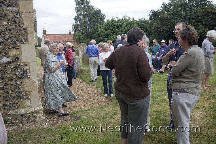
The church of St Peter is half the way up the north part of The Street. It dates from c.1300 and is a grade II* listed building . The old Bell Inn is now a dwelling called Dial House. The new Cretingham Bell pub opened in 1967 located at the crossroads. It dates from 1620s and was formerly four cottages.
Several farms lie in the area:
History
During renovation work on a hunting lodge near Aldeburgh in 1996, a carpenter uncovered a plank of wood revealing a chilling pencilled message: "A fearful murder was committed the first day of this month (October 1887) at Cretingham. A curate cut the vicar's throat at 12 o'clock at night." Sheila Hardy wrote a book about it called The Cretingham Murder.
Cretingham Primary School closed in the early 1960s (Miss Last being the last teacher).