
OS grid reference SW7450943496 Post town TRURO Local time Wednesday 5:58 AM Civil parish Kenwyn | Sovereign state United Kingdom Postcode district TR4 Dialling code 01209 | |
 | ||
Weather 11°C, Wind SW at 26 km/h, 99% Humidity | ||
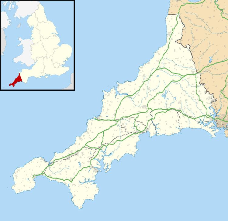
Creegbrawse is a hamlet in west Cornwall, England, United Kingdom. It is situated between the villages of Chacewater (where the 2011 census population was included ) and Todpool approximately three miles (5 km) east of Redruth.
Map of Creegbrawse, Redruth, UK
Creegbrawse was a busy mining area in the 19th century. Remains of the mining activity are still present including numerous mineshafts. Since the decline of the industry, the village has become a rural community centred on a crossroads; the roads lead to Chacewater, Twelveheads, Todpool and St Day via Little Beside.
References
Creegbrawse Wikipedia(Text) CC BY-SA