
Time zone CST (UTC-6) Elevation 533 m Local time Tuesday 8:30 PM Area code 479 | Established 1878 GNIS feature ID 69784 Area 61.6 km² Population 800 (2000) | |
 | ||
Weather 6°C, Wind S at 3 km/h, 44% Humidity | ||
Township of Crawford is one of thirty-seven townships in Washington County, Arkansas, USA. As of the 2000 census, its total population was 800.
Contents
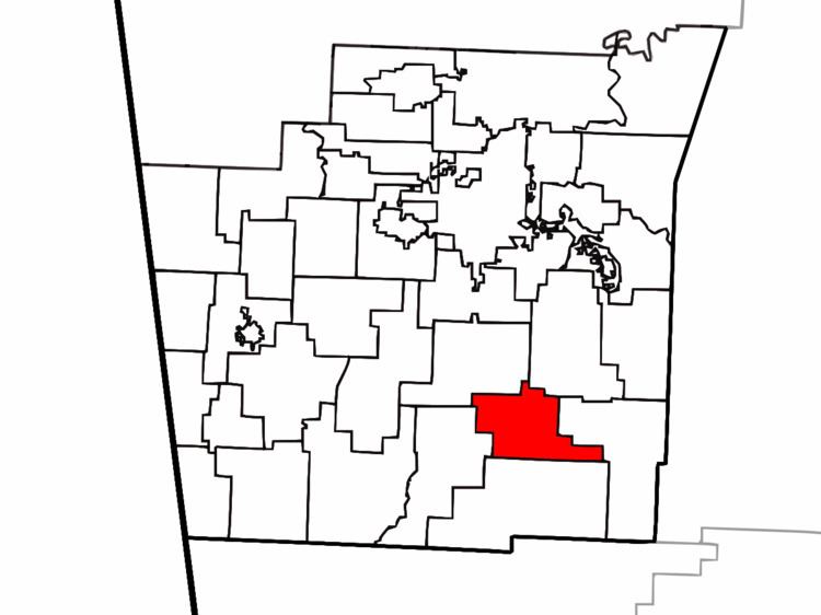
Map of Crawford Township, AR, USA
Geography
According to the United States Census Bureau, Crawford Township covers an area of 23.8 square miles (62 km2); all land. Crawford Township was created in 1878 from part of West Fork Township. It gave part to Lee's Creek Township in 1880.
Cities, towns, villages
Cemeteries
The township contains Woolsey Cemetery.
Major routes
References
Crawford Township, Washington County, Arkansas Wikipedia(Text) CC BY-SA