
 | ||
Location City of Westminster, Central London, England, UK | ||
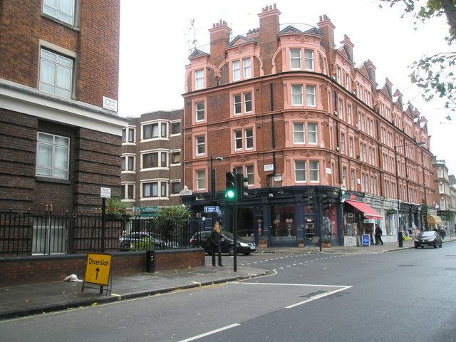
Crawford Street is a street in the Marylebone district of the City of Westminster, London. The street contains two grade II listed public houses.
Contents
Map of Crawford St, Marylebone, London W1H, UK
Location
The street runs from the junction of Homer Row and Crawford Place in the west to the junction of Baker Street and Paddington Street in the east. From west to east, the street is crossed by Seymour Street, Wyndham Place, Upper Montagu Street, Durweston Street/Montagu Mews North, Gloucester Place, Montagu Mansions and Durweston Mews/Montagu Row.
History
The street was laid out from 1795. It is named after Tarrant Crawford, a property in Dorset owned by the Portman family who owned much of the property in the area.
Listed buildings
The Duke of Wellington public house at No. 94a Crawford Street is a grade II listed building with Historic England, as is The Beehive at No. 126. There are a number of other listed buildings in the street.