Isolation 17.98 mi (28.94 km) Prominence 697 m Easiest route Hiking | Elevation 3,454 m | |
 | ||
Topo map USGS 7.5' topographic mapChalk Mountain, Colorado Similar Mount Lamborn, Needle Rock Natural A, South River Peak, Waugh Mountain, Parkview Mountain | ||
Crater Peak is the highest summit of Grand Mesa in the Rocky Mountains of North America. The prominent 11,333-foot (3,454 m) peak is located on the drainage divide separating Grand Mesa National Forest and Gunnison National Forest, 12.3 miles (19.8 km) north-northwest (bearing 342°) of the Town of Paonia in Delta County, Colorado, United States.
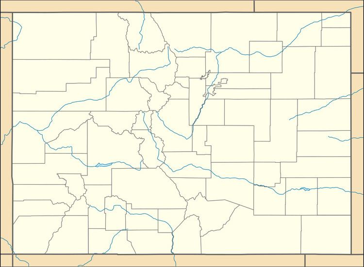
Map of Crater Peak, Colorado 81419, USA
References
Crater Peak (Colorado) Wikipedia(Text) CC BY-SA
