
Province Ulster | ||
 | ||
Cranaghan is a townland in the Parish of Tomregan, Barony of Loughtee Lower, County Cavan, Ireland.
Contents
Map of Cranaghan, Co. Cavan, Ireland
Etymology
The townland name is an anglicisation of the Gaelic placename “Crannachan” which means ‘Woodland’. The earliest surviving mention of the townland is on the 1609 Ulster Plantation map of the Barony of Loughtee, where it is spelled ‘Granchinah’.
Geography
It is bounded on the north by Killywilly townland, on the east by Ardue, Ture and Greaghrahan townlands, on the south by Aghavoher and Carrigan townlands and on the west by Cavanagh and Mullaghduff townlands. Its chief geographical features are Killywilly Lough, Agavoher Lough, Lough Rud, the Rag River and several small drumlin hills reaching to an altitude of 250 feet above sea-level.
Cranaghan is traversed by the N87 road (Ireland) and some minor lanes.
The townland covers 492 acres, including 108 acres of water.
History
In a grant of the Manor of Monaghan dated 21 June 1610 from King James I to Sir Hugh Wyrral, it is specified that “the two polls of Granchinagh containing 90 acres are excepted from this grant”.
The Tithe Applotment Books for 1827 list the following tithepayers in the townland- Kane, Reilly, Story, Green, Taylor, Brady, Dolan, McGauran, Laurence, Shewell, Corry, Ross, Gillon, McIlroy, Rooney.
The Ordnance Survey Name Books for 1836 give the following description of the townland- "Crannachan, 'wood-land'. It lies in the East of the parish. This is glebe land. The residence of the Revd J. Story is a neat building with a garden plantation. Rent is 25 shillings per arable acre. Soil is gravelly. Produce is oats, flax and potatoes. There is a large limestone quarry in the land, much used for building and agricultural purposes. Cranaghan Glebe House is the residence of Reverend Story. It has planting and a good garden. In good repair. "
Griffith's Valuation of 1857 lists thirty-eight occupiers in the townland.
In the 1901 census of Ireland, there are twenty-eight families listed in the townland.
In the 1911 census of Ireland, there are twenty-six families listed in the townland.
In the Dúchas Schools' Collection at http://www.duchas.ie/en/cbes/5083770/5039572 Mrs Reilly in 1938 relates a treasure story that occurred in Cranaghan.
Antiquities
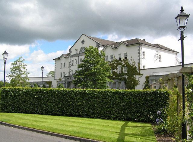
The historic sites in the townland are (1) A prehistoric wedge tomb which was originally located in Aughrim townland but was excavated in 1992 and moved to the grounds of the Slieve Russell hotel due to quarrying operations, (Site number 7, page 2, Aughrim townland, in “Archaeological Inventory of County Cavan”, Patrick O’Donovan, 1995) & online at http://megalithomania.net/show/image/6285. It was one of only two megalithic structures in Tomregan parish; the only one now remaining in situ is the court-cairn in Doon townland. (2) A medieval crannóg in Killywilly Lough (Site number 1515, page 181, Cranaghan townland, in “Archaeological Inventory of County Cavan”, Patrick O’Donovan, 1995) Among the objects found in the crannog were a bronze socketed axe (3) an Orange Hall (4) Cranaghan Bridge. (5) In the first half of the 19th century a hedge school was run in Cranaghan with the support of the Kildare Street Society by a Roman Catholic teacher called Francis Carney in a field owned by Mr. Paterson. (6) In the 19th and early 20th centuries Cranaghan had one of the biggest lime-kiln industries in County Cavan, run by the O’Reilly family. (7) The Slieve Russell hotel and golf course now stand on the site of Cranaghan House which was the Church of Ireland rectory for Tomregan parish from 1850 to 1959.