
Country Canada Established 1850 Postal code K0K 1S0 Population 6,073 (2011) Province Ontario Team Colborne Cramahe Hawks | County Northumberland Time zone EST (UTC-5) Website www.visitcramahe.ca Local time Tuesday 5:16 PM Area code 905 | |
 | ||
Weather 7°C, Wind S at 10 km/h, 87% Humidity | ||
Cramahe is a rural township located in Northumberland County in central Ontario, Canada. It is situated just off Ontario Highway 401 approximately 140 km East of Toronto. It was named for Hector Theophilus de Cramahé, who was Lieutenant-Governor of the Province of Quebec. The seat of the Township and largest town is Colborne.
Contents
Map of Cramahe, ON, Canada
Joseph Keeler opened a store on the site of present-day Colborne about 1819. A community began to grow as other small businessmen followed suit. With the opening of harbour facilities in the 1840s and the arrival of the railway in the 1940, Colborne became an important service centre for the region. Cramahe was incorporated as a township in 1850. In 1858, the village of Colborne seceded from the municipality as a separate township. In 2001, the two municipalities were re-amalgamated to form an expanded Township of Cramahe.
Communities
The township comprises the communities of Castleton, Colborne, Dundonald, East Colborne, Edville, Greenleys Corners, Griffis Corners, Loughbreeze, Morganston, Purdy Corners, Salem, Shiloh, Tubbs Corners and Victoria Park.
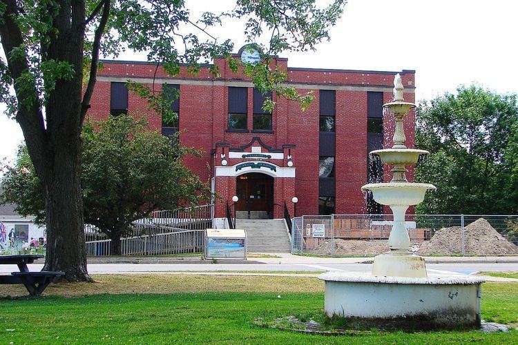
Originally named Keeler's Creek, Colborne (44°00′20″N 77°53′20″W) is the largest and main population centre of the township. It was named after Sir John Colborne, Lieutenant Governor of Upper Canada, by Joseph Abbott Keeler in 1829. Colborne was incorporated as a village in 1858 with a population of approximately 700 people. In 2001, Colborne and Cramahe Township were amalgamated as part of municipal restructuring to form an expanded Township of Cramahe. At the time of dissolution, Colborne Village had a population of 2,040 over an area of 5.2 square kilometres (2.0 sq mi).
Colborne is the home of the Big Apple, a tourist attraction located along Ontario Highway 401. With a height of 10.7 metres (35 ft) and diameter of 11.6 metres (38 ft), the Big Apple is billed as the largest apple in the world. There is an observation deck on top of the apple, a restaurant and other amenities on the premises.
Demographics
According to the Canada 2011 Census:
Population trend: