
Postal Code K0L Elevation 338 m | Area code(s) 613, 343 Local time Tuesday 5:01 PM Municipality Carlow/Mayo | |
 | ||
Weather 7°C, Wind S at 13 km/h, 94% Humidity | ||
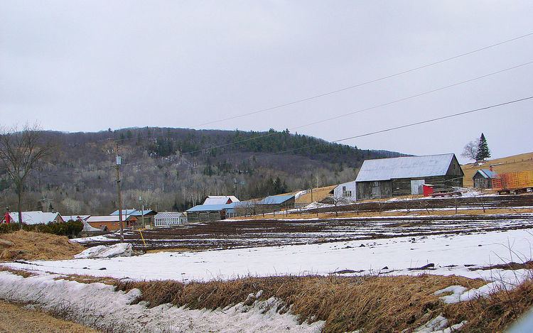
Craigmont is a Dispersed Rural Community, unincorporated place, and ghost town in Carlow/Mayo, Hastings County in Central Ontario, Canada. It lies adjacent to the municipal boundary with Brudenell, Lyndoch and Raglan in Renfrew County. It was a former mining town that produced corundum from deposits in Mount Robillard, directly north of the community.
Map of Craigmont, ON, Canada
In 1876, the mountain was discovered as a source for Corundum. In 1900, mining operations began by the Canada Corundum Company. A settlement, consisting of both a company town and a private town, grew to a peak population of 600 persons, making it the world's largest Corundum producer at that time. But in 1913, a fire destroyed the mill, resulting in job loss and a gradual decline. By 1921, Craigmont was a ghost town.
A small community remains along County Road 517 (the former Ontario Highway 517), with some of the original buildings and ruins on private property.