
 | ||
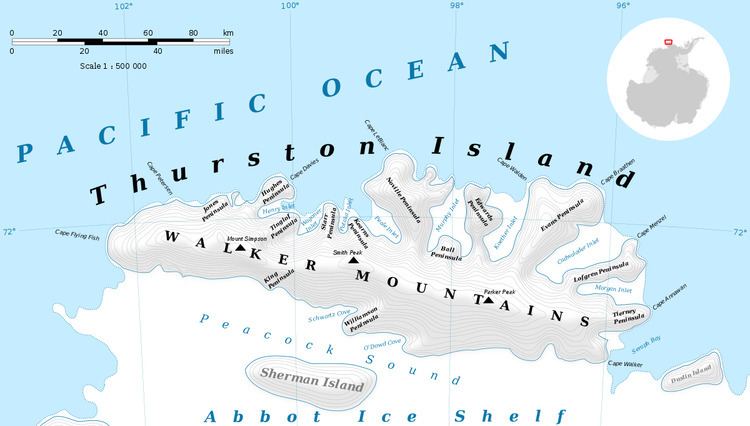
Craft Glacier (72°12′S 101°22′W) is a valley glacier about 5 nautical miles (9 km) long, lying west of Hendersin Knob on Thurston Island and flowing south to Abbot Ice Shelf in Peacock Sound. It was first delineated from air photos taken by U.S. Navy Operation Highjump in December 1946, and named by the Advisory Committee on Antarctic Names for Ensign Charles Craft, U.S. Navy, a helicopter pilot on USS Glacier who made exploratory flights at Thurston Island in February 1960.
Contents
Map of Craft Glacier, Antarctica
Maps
References
Craft Glacier Wikipedia(Text) CC BY-SA