
Quadrant NE Established 1991 Population 12,601 (2006) | Ward 3 Elevation 1,080 m (3,540 ft) | |
 | ||
Weather -13°C, Wind N at 19 km/h, 71% Humidity Restaurants Palermo Family Restaurant, Extreme Pita, Thai Express, Pizza 73, Mary Brown's | ||
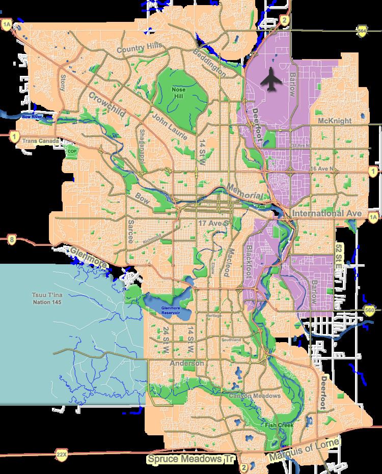
Coventry Hills is a suburban residential neighbourhood in the northeast quadrant of Calgary, Alberta. It is at the northern edge of the city and is bounded by Stoney Trail to the north, Deerfoot Trail and the Nose Creek to the east, Country Hills Boulevard to the south, and Harvest Hills Boulevard to the west. The Harvest Hills golf course borders the community to the south.
Contents
Map of Coventry Hills, Calgary, AB, Canada
Coventry Hills was established as a neighbourhood in 1991. It is represented in the Calgary City Council by the Ward 3 councillor.
Demographics
In the City of Calgary's 2012 municipal census, Coventry Hills had a population of 7004159690000000000♠15,969 living in 7003532200000000000♠5,322 dwellings, a 1.6% increase from its 2011 population of 7004157220000000000♠15,722. With a land area of 4.1 km2 (1.6 sq mi), it had a population density of 3,890/km2 (10,090/sq mi) in 2012.
Residents in this community had a median household income of $70,096 in 2000, and there were 6% low income residents living in the neighbourhood. As of 2000, 12.9% of the residents were immigrants. All buildings were single-family detached homes, and 3.9% of the housing was used for renting.
Education
Coventry Hills has two public schools, Coventry Hills Elementary School (K-3) and Nose Creek School (4-9), and two separate schools, St. Claire Catholic Elementary School (K-6) and Notre Dame Catholic High School (10-12).