Local time Tuesday 12:11 PM | ||
 | ||
Weather 34°C, Wind N at 10 km/h, 50% Humidity | ||
Un paseo por tol y cove as
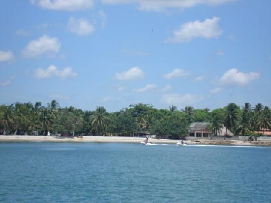
Coveñas is a town and municipality located in the Sucre Department, northern Colombia. It was established in the 16th century as a port for slave traders, then it became an oil port in the twentieth century . It became a municipality in 2002. The town is now a popular vacation place for the people of the Colombian Andean region.
Contents
- Un paseo por tol y cove as
- Map of Covenas TolC3BA Sucre Colombia
- Cienaga de la caimanera cove as sucre colombia
- History
- Transportation
- References
Map of Covenas, Tol%C3%BA, Sucre, Colombia
Cienaga de la caimanera cove as sucre colombia
History
The area was founded in 1560 as a slave port. Then in the early 1900s, after slavery became illegal, it became a meat trading port. In 1971, oil of discovered in the area, and soon, many Colombian oil companies started to settle there. In the late 1970s, hotels were built to promote tourism. It became a town and municipality in 2002.
Transportation
There are many bus services that go from Tolú. There are also boats, however, there are no marinas in the area. A boat can come from Tolú and come straight to the beaches. People will have to go on the beaches and walk out into shallow waters to get on their boat. The town is served by Coveñas Airport, which is a military airport that offers some charter flights from time to time.
