
Existed: 2011 – present US 66 SR 66 → Constructed 2011 | Counties: San Bernardino Length 331.7 km Major cities Barstow | |
 | ||
West end: 1st Street in Oro Grande East end: I-40 at the Arizona state line County San Bernardino County, California | ||
County Route 66 (CR 66) is an east–west numbered road in San Bernardino County, California. It runs for 206.1 miles (331.7 km) from Oro Grande (north of Victorville) to the Arizona state line via Interstate 40 south of Topock, Arizona. The entire route is part of the former US 66. It is the only numbered county route in San Bernardino County.
Contents
Map of County Rte 66, California, USA
Route description
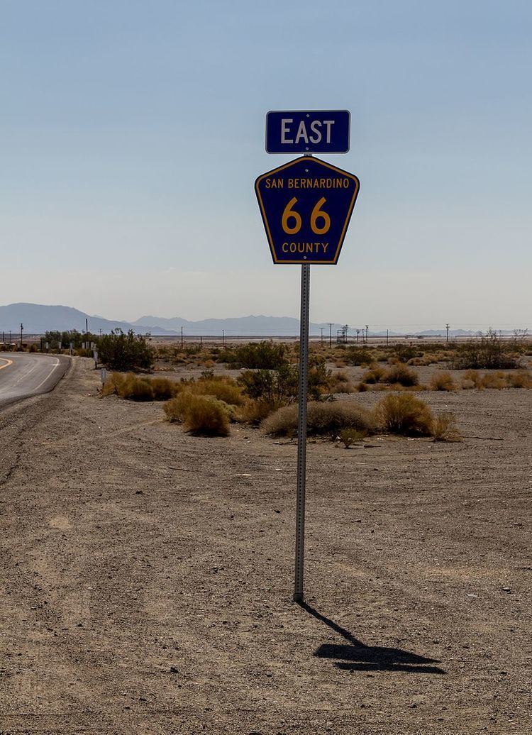
The route is part of the California Route Marker Program. CR 66 begins at its western terminus, on the National Trails Highway at the intersection of 1st Street in unincorporated Oro Grande, near the Victorville city limits. From there, it heads north towards Barstow where it becomes Main Street headed eastbound. After an overlap with Interstate 15 Business (I-15 Bus.), it continues south to the I-40 interchange, where it runs concurrently with I-40 east for four miles (6.4 km) before splitting from the freeway at the Nebo Street exit. At that junction, CR 66 runs parallel to I-40 all the way to Ludlow, but then turns southeast towards Amboy Crater National Natural Landmark. It then heads back towards I-40, crossing paths with the freeway again at Fenner, before heading east on Goffs Road to the junction with US 95. Next, CR 66 cosigns along US 95 south to the junction with I-40, where both the US and county routes cosign with I-40 heading east towards Needles. CR 66 exits the freeway at River Road Cutoff, where it immediately turns onto National Trails Highway after exiting. The route follows National Trails Highway to its end on River Road, then begins its southeast journey into downtown Needles. After an interchange with I-40, CR 66 begins its overlap with Interstate 40 Business (I-40 Bus.). At the junction with N Street, CR 66/I-40 Bus. turns south via Broadway Street, and meets I-40/US 95 at another interchange near the Riverview Cemetery. At this interchange, I-40 Bus. terminates, and US 95 south begins cosigning with CR 66 again. The two routes diverge at 5 Mile Road, which carries CR 66 back to I-40 north of the Needles Border Station. CR 66 follows I-40 east to the Arizona state line over the Colorado River, where it terminates.
At 206.1 miles (331.7 km) in length, CR 66 is the longest county route in California, and it is even longer than some Interstate highways.
The CR 66 sign program began in San Bernardino County in June 2011, defining the route from just north of I-15 in Victorville to US 95 northwest of Needles. In 2012, the county announced an extension to the sign program which would bring the route eastward through Needles. Although the route officially stops short of the Victorville city limits, there has been signage for the route within that city.
History
CR 66 originally was part of the historic US 66, established in 1926. California decommissioned this highway in 1979, and in 1985, it was decommissioned nationally. In 2011, San Bernardino County Supervisor Brad Mitzlefelt proposed Resolution 63, which would establish a county route with the number 66, as a tribute to the original "Mother Road". Route markers were first installed in September 2011, upon passage of the resolution, which also allowed the possibility of the route being extended in the future along other parts of old US 66 in San Bernardino County. In May 2012, the County Board of Supervisors designated CR 66 a County Scenic Highway.
Major junctions
The entire route is in San Bernardino County.