
OS grid reference SE634567 Sovereign state United Kingdom Local time Tuesday 6:03 AM | Post town YORK | |
 | ||
Population 235 (Including Grimston. 2011) Weather 3°C, Wind NW at 11 km/h, 85% Humidity | ||
Coulton is a village and civil parish in the Ryedale district of North Yorkshire, England, it is about 6 miles south of Helmsley.
Contents
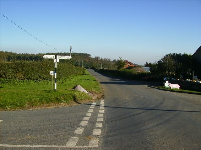
Map of Coulton, UK
History
The village is mentioned in the Domesday Book as Coletun. The lands around the village are mentioned in four entries, in which landowners at the time of the Norman invasion include Orm, Son of Gamal, Othulf, Uthred and King Edward. After the invasion, the lands were granted to Count Robert of Mortain, Hugh, son of Baldric and King William.
Governance
The village lies within the Thirsk and Malton UK Parliament constituency. It also lies within the Hovingham & Sheriff Hutton electoral division of North Yorkshire County Council and the Ampleforth ward of Ryedale District Council.
Geography
The nearest settlements are Hovingham 2.25 miles (3.62 km) to the north-east; Scackleton 1 mile (1.6 km) to the south-east; Cawton 1.5 miles (2.4 km) to the north and Brandsby 2.1 miles (3.4 km) to the south-west.
The 1881 UK Census recorded the population as 131. This decreased to 69 in the 1961 UK Census.