
Time zone CST (UTC-6) Area 84.64 km² Local time Monday 10:38 PM | Established November 6, 1860 Elevation 195 m Population 521 (2010) | |
 | ||
ZIP codes 62428, 62440, 62468, 62469 Weather 16°C, Wind S at 34 km/h, 83% Humidity | ||
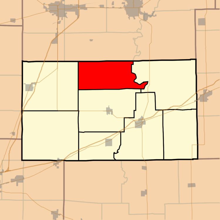
Cottonwood Township is one of eight townships in Cumberland County, Illinois, USA. As of the 2010 census, its population was 521 and it contained 231 housing units.
Contents
- Map of Cottonwood Township IL USA
- Geography
- Unincorporated towns
- Cemeteries
- Airports and landing strips
- School districts
- Political districts
- References
Map of Cottonwood Township, IL, USA
Geography
According to the 2010 census, the township has a total area of 32.68 square miles (84.6 km2), of which 32.67 square miles (84.6 km2) (or 99.97%) is land and 0.01 square miles (0.026 km2) (or 0.03%) is water. The Embarras River defines the township's eastern border.
Unincorporated towns
Cemeteries
The township contains these three cemeteries: Haggins, Hutton and Tippett.
Airports and landing strips
School districts
Political districts
References
Cottonwood Township, Cumberland County, Illinois Wikipedia(Text) CC BY-SA