
Canton Bellencombre Area 7.88 km² | Region Normandy Intercommunality Bosc d'Eawy Local time Tuesday 5:45 AM | |
 | ||
Weather 6°C, Wind W at 19 km/h, 86% Humidity | ||
Cottévrard is a commune in the Seine-Maritime department in the Haute-Normandie region in northern France.
Contents
Map of 76850 Cott%C3%A9vrard, France
Geography
A farming village situated in the Pays de Caux, some 31 miles (50 km) south of Dieppe, at the junction of the D15, D19 and the D26 roads. The A29 autoroute passes through the north of the commune.
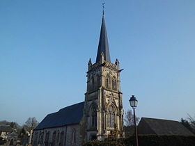
Places of interest
References
Cottévrard Wikipedia(Text) CC BY-SA