- left Earle Creek - elevation 0 ft (0 m) Length 9.7 km | - elevation 0 ft (0 m) Source Centreville Country United States of America | |
 | ||
- right Alder BranchEmory Creek | ||
rockhall chester river corsica river mainship s photos around corsica landing united states
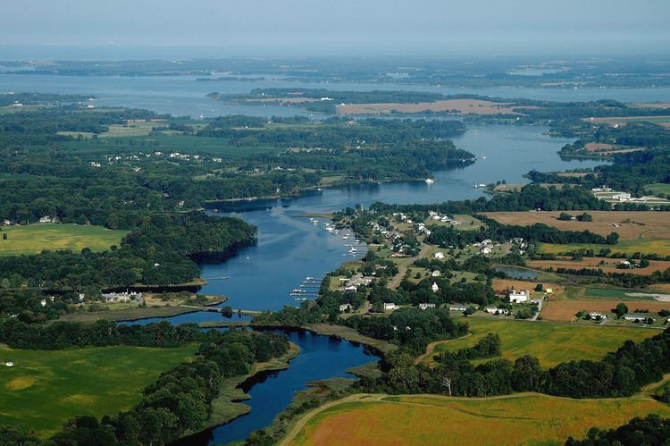
The Corsica River is a tidal river in Queen Anne's County in the U.S. state of Maryland. The river begins near Centreville and empties into the Chester River.
Contents
- rockhall chester river corsica river mainship s photos around corsica landing united states
- Map of Corsica River 3 Centreville MD USA
- Variant names
- References
Map of Corsica River, 3, Centreville, MD, USA
Variant names
The United States Geological Survey records the following variant names for the Corsica River:
References
Corsica River Wikipedia(Text) CC BY-SA
