
Population 269 (2011 census) Postal code 3559 Federal division Division of Murray | Postcode(s) 3559 State electorate(s) EuroaMurray Plains Local time Tuesday 3:43 AM | |
 | ||
Location 178 km (111 mi) N of Melbourne55 km (34 mi) W of Shepparton20 km (12 mi) e of Elmore17 km (11 mi) W of Stanhope Weather 16°C, Wind S at 13 km/h, 71% Humidity | ||
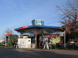
Corop is a town in the Goulburn Valley region of Victoria, Australia. The town is in the Shire of Campaspe and on the Midland Highway, 178 kilometres (111 mi) north of the state capital, Melbourne. At the 2011 census, Corop and the surrounding area had a population of 269, while the town itself claims a population of 33.
Map of Corop VIC 3559, Australia
Nearby the town is Lake Cooper and Greens Lake, both popular venues for aquatic activities. The town is home to as many holiday homes as permanent dwellings and the town is much larger in holiday times.
Corop Post Office opened on 1 January 1868.
References
Corop, Victoria Wikipedia(Text) CC BY-SA