
Population 3,779 (2006 census) State electorate(s) Davenport Postal code 5051 | Postcode(s) 5051 | |
 | ||
LGA(s) City of MitchamCity of Onkaparinga Federal divisions Division of Boothby, Division of Mayo | ||
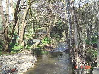
Coromandel Valley is a south-eastern suburb of Adelaide, South Australia. Part is in the City of Mitcham and the City of Onkaparinga with the Sturt River being the boundary between the two council areas.
Contents
Map of Coromandel Valley SA 5051, Australia
Coromandel Valley, and its neighbouring suburb, Coromandel East, gain their name from a ship, the Coromandel, which arrived in Holdfast Bay from London in 1837 with 156 English settlers. After the ship reached the shore, some of its sailors deserted, intending to remain behind in South Australia, and took refuge in the hills in the Coromandel Valley region.
The Coromandel Valley Primary School, established in 1877, is one of the oldest in South Australia. Adjacent to the school is the original St John's Anglican Church, built with local stone. The parish at various times in the last century included the rural areas from Meadows in the South to Belair in the north. An important business in the early days was Alex Murray & Son's jam and biscuit factory, which closed around 1902.
The (now closed) Coromandel Valley Post Office first opened on 10 July 1850.