
Incorporated (city) May 1740 ZIP code 06754, 06796 Population 1,434 (2010) | NECTA None Time zone EST (UTC-5) Elevation 216 m | |
 | ||
Weather 2°C, Wind SW at 6 km/h, 18% Humidity Points of interest Mohawk Mountain Ski Area, Mohawk Mountain State Park, Mohawk State Park | ||
Where eagles soar in cornwall connecticut
Cornwall is a town in Litchfield County, Connecticut, United States. The population was 1,420 at the 2010 census.
Contents
- Where eagles soar in cornwall connecticut
- Map of Cornwall CT USA
- History
- Geography
- Principal communities
- Demographics
- Arts and culture
- Museums and other points of interest
- Transportation
- Notable people
- Popular culture
- References
Map of Cornwall, CT, USA
In 1939 poet Mark Van Doren wrote "The Hills of Little Cornwall", in which the seductive beauties of the countryside were portrayed:
The mind, eager for caresses,Lies down at its own risk in Cornwall;History
Cornwall was incorporated in May 1740, and was named after Cornwall, England.
Geography
According to the United States Census Bureau, the town has a total area of 46.3 square miles (120 km2), of which, 46.0 square miles (119 km2) of it is land and 0.2 square miles (0.52 km2) of it (0.54%) is water. The town is located on the east bank of the Housatonic River and also contains a major portion of the Mohawk State Forest.
Principal communities
Demographics
As of the census of 2000, there were 1,434 people, 615 households, and 389 families residing in the town. The population density was 31.2 people per square mile (12.0/km²). There were 873 housing units at an average density of 19.0 per square mile (7.3/km²). The racial makeup of the town was 97.49% White, 0.21% African American, 0.70% Asian, 0.21% from other races, and 1.39% from two or more races. Hispanic or Latino of any race were 1.46% of the population.
There were 615 households out of which 29.4% had children under the age of 18 living with them, 52.5% were married couples living together, 8.5% had a female householder with no husband present, and 36.6% were non-families. 30.7% of all households were made up of individuals and 12.0% had someone living alone who was 65 years of age or older. The average household size was 2.33 and the average family size was 2.93.
In the town, the population was spread out with 24.4% under the age of 18, 3.3% from 18 to 24, 25.7% from 25 to 44, 28.9% from 45 to 64, and 17.6% who were 65 years of age or older. The median age was 44 years. For every 100 females there were 94.0 males. For every 100 females age 18 and over, there were 90.5 males.
The median income for a household in the town was $54,886, and the median income for a family was $64,750. Males had a median income of $46,875 versus $30,536 for females. The per capita income for the town was $42,484. About 1.0% of families and 3.0% of the population were below the poverty line, including 3.0% of those under age 18 and 1.6% of those age 65 or over. Some of the main features of Cornwall include the Cream Hill Lake, the Covered Bridge, Mohawk Ski Mountain and the town which contains a library and tennis courts. It is a very enjoyable place for young children who enjoy activity.
Arts and culture
The Cornwall Library [2], organized in 1869, constructed a new building in 2002 that houses a collection of over 28,000 items. It also sponsors a long-running art show along with many other events.
The Cornwall Chronicle [3] is a non-profit monthly newspaper that publishes news and feature stories about Cornwall, a calendar of events, and drawings by local artists. It was started in 1991 and has not missed an issue since.
Museums and other points of interest
The town was also home to the Foreign Mission School.
Transportation
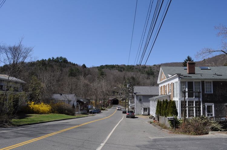
The town is served by Route 4, US 7, Route 43, and Route 128.
The covered bridge in West Cornwall is also one of only three covered bridges in Litchfield County. It has been in continuous service since 1864. The span is 242 feet and it crosses the Housatonic River.