
 | ||
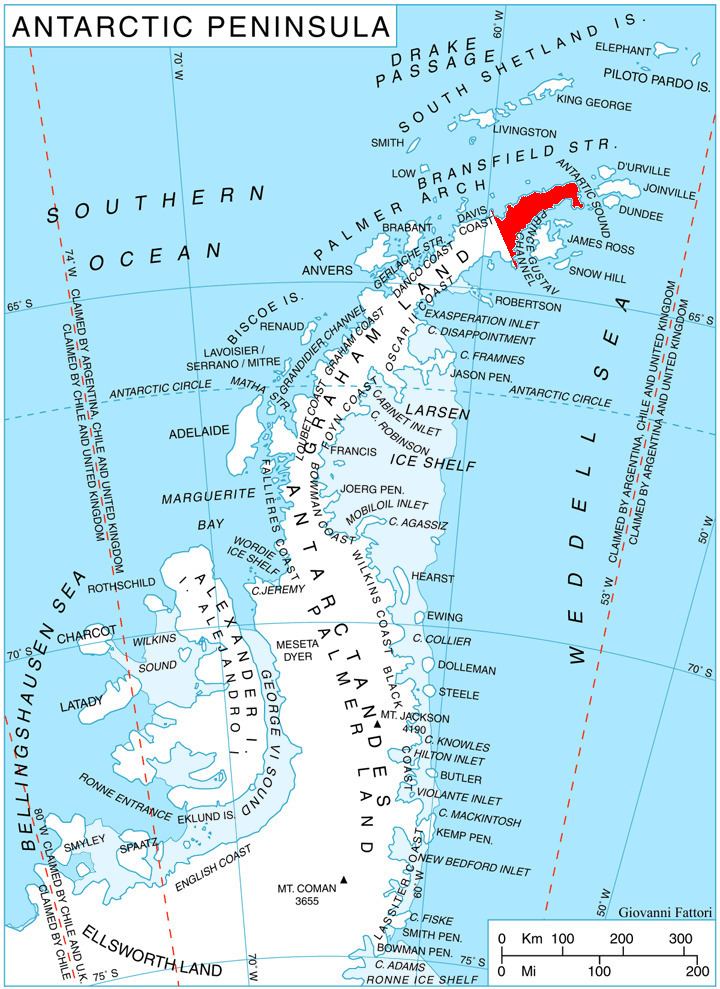
Corner Peak (63°35′S 58°39′W) is a pyramidal peak, 930 metres (3,050 ft) high, with considerable rock exposed on its northern face. Located in the northeastern Srednogorie Heights, 8 nautical miles (15 km) east-southeast of Cape Roquemaurel, it marks a corner in the broad glacial valley of Malorad Glacier which rises immediately to the southeast and fans out northwest to form a piedmont ice sheet on the northwest side of the Trinity Peninsula. It was named by the Falkland Islands Dependencies Survey following a 1946 survey.
Contents
Map of Corner Peak, Antarctica
Map
References
Corner Peak Wikipedia(Text) CC BY-SA