
Traversed by D 925 Elevation 1,967 m | ||
 | ||
Similar Alps, Col de l'Iseran, Roselend Dam, Col du Pré, Col des Saisies | ||
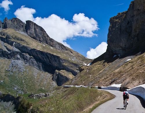
Cormet de Roselend (el. 1967 m.) is a high mountain pass in the Alps in the department of Savoie in France.
Contents
- Map of Cormet de Roselend 73270 Beaufort France
- Details of climbEdit
- Appearances in Tour de FranceEdit
- References
Map of Cormet de Roselend, 73270 Beaufort, France
It connects Beaufort in the Beaufortain valley and Bourg-Saint-Maurice in the Tarentaise Valley. On the west side of the pass lies the Lac de Roselend, a reservoir that can be reached by the Col de Méraillet or the Col du Pré.
Details of climbEdit
On the north-western side, starting from Beaufort, the climb is 20.3 km long. Over this distance, the climb is 1227 m. (an average percentage of 6.0%), with the steepest sections at 10.0%.
From Bourg-Saint-Maurice to the south-east, the Cormet de Roselend is 19.35 km long. Over this distance, the climb is 1154 m. (an average percentage of 6.0%), with the steepest sections at 8.9%.
Appearances in Tour de FranceEdit
The pass was first included in the Tour de France in 1979 and has since featured 9 times, most recently in stage 17 of the 2009 Tour de France.