Neha Patil (Editor)

Coria Cove

Updated on
Edit
Like
Comment
Share on FacebookTweet on TwitterShare on LinkedInShare on Reddit
Coria Cove

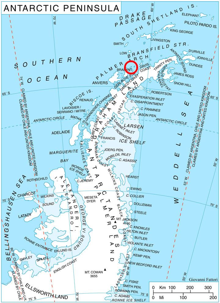
Coria Cove is the 1 km wide cove indenting for 1.15 km the east coast of Liège Island in the Palmer Archipelago, Antarctica. The cove is centred at 64°01′07″S 61°52′50″W, which is 7.2 km southwest of Neyt Point. British mapping in 1978.

Maps

  • British Antarctic Territory. Scale 1:200000 topographic map. DOS 610 Series, Sheet W 64 60. Directorate of Overseas Surveys, UK, 1978.
  • Antarctic Digital Database (ADD). Scale 1:250000 topographic map of Antarctica. Scientific Committee on Antarctic Research (SCAR). Since 1993, regularly upgraded and updated.
  • References

    Coria Cove Wikipedia


    Similar Topics