Peak Cerro Chirripó | Elevation 3,820 m (12,530 ft) Highest point Cerro Chirripó | |
Mountains | ||
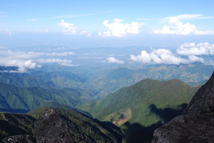
Western cordillera de talamanca range panama
The Cordillera de Talamanca is a mountain range that lies on the border between Costa Rica and Panama. Much of the range and the area around it is included in the La Amistad International Park, which also is shared between the two countries.
Contents
- Western cordillera de talamanca range panama
- Exploration classificationEdit
- National parksEdit
- Important elevationsEdit
- References
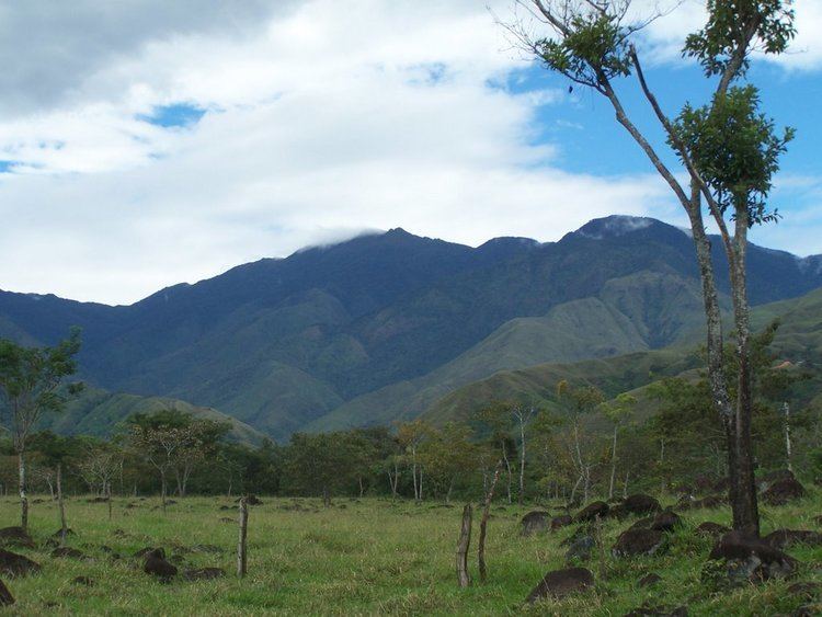
This range in the south of Costa Rica stretches from southwest of San José to beyond the border with Panama and contains the highest peaks of Costa Rica and Panama, among them the Cerro Chirripó with 3,820 m, and the more accessible high peak of Cerro de la Muerte. Much of the Caribbean areas of the range are still unexplored.
Exploration & classificationEdit
The range is covered by the Talamancan montane forests to elevations of approximately 3000 m. Much of it is covered by rainforests. Above elevations of 1800 m these are dominated by huge oak trees (Quercus costaricensis). Above 3000 m, the forests transition to enclaves of sub-páramo, a sort of shrub and dwarf bamboo Chusquea dominated scrub, above 3,400 m this becomes Costa Rican páramo, a tropical alpine grassland. The sub-páramo and páramo vegetation are subject to regular frosts at night, temperatures at 3200 m reach –5 Celsius, the lowest recorded temperature is -9 Celsius. The region has been extensively studied by paleolimnologists to reconstruct the changes in climate, vegetation and fire frequencies (see also Sally P Horn).
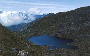
The range is of global importance as it is a centre of endemism for many plant and animal groups and as an important habitat for many large mammals (Baird's Tapir, Puma, Jaguar) and birds that are now threatened in much of their range. An intended hydroelectricity project threatens the existence of the Tabasara Rain Frogs.
National parksEdit
Several national parks and reservations are located in the Talamanca mountain range, including Chirripó National Park. The Cordillera de Talamanca and La Amistad national parks have been designated by UNESCO a World Heritage site It is also the first binational biosphere reserve. The two parks comprise 2,400 square km of land.
Important elevationsEdit