Highest point Ausangate | Elevation 6,384 m (20,945 ft) | |
 | ||
Mountains | ||
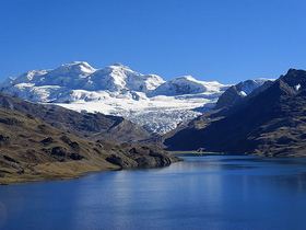
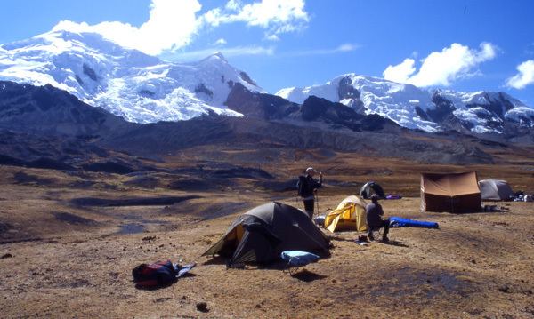
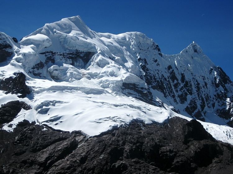
The Cordillera Vilcanota (Spanish for "Vilcanota mountain range", possibly from Aymara willka worship / sun, -n(i) a suffix, uta house, Willkanuta "house of the sun",) is a mountain range located in Peru southeast of Cusco, on the boundary between the regions of Cusco and Puno. It extends between 13°39' and 14°29'S and 70°31' and 71°20'W for about 80 km. It includes 469 glaciers.
Contents
To the east the rivers San Gabán and Azángaro are the natural boundary which separates it from the Carabaya range. The La Raya range near the La Raya pass is sometimes included or listed separately.
Mountains
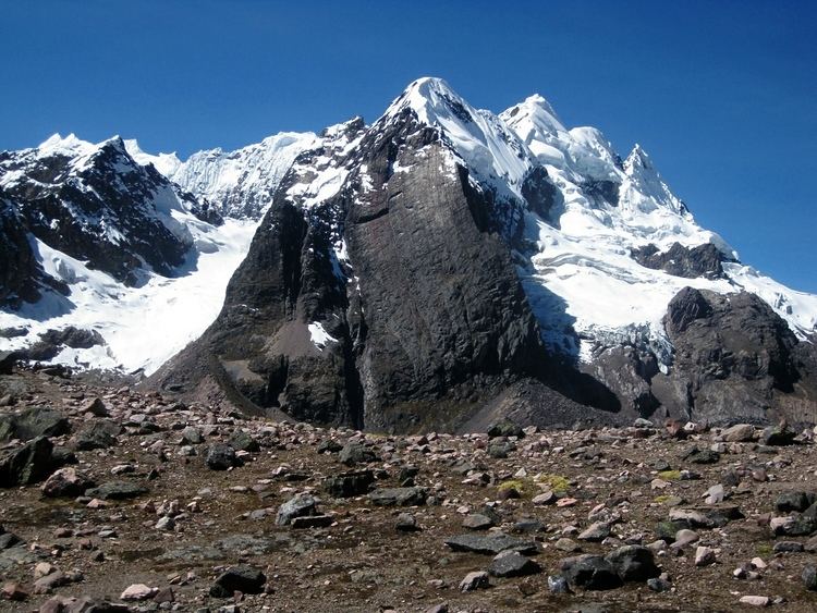
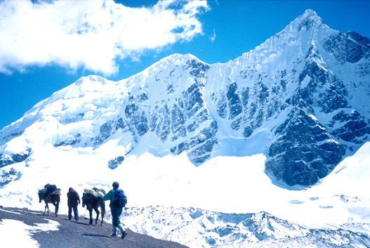
The highest mountain in the range is Ausangate which is also the fourth largest mountain in Peru. Other notable peaks including the Ayakachi group, the northern extension of the range, are listed below:
Lakes
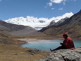
Sibinacocha is the largest of about 22 lakes in the range followed by Lake Singrenacocha northwest of it. Other notable lakes are Armaccocha, Jatun Pucacocha, Pucacocha and Huarurumicocha.