
Country United States Time zone CST (UTC-6) Elevation 191 m Population 311 (2010) | Established November 8, 1853 ZIP codes 62353, 62378 Area 107.4 km² Local time Sunday 5:43 PM | |
 | ||
Weather 14°C, Wind S at 24 km/h, 67% Humidity | ||
Cooperstown Township is one of nine townships in Brown County, Illinois, USA. As of the 2010 census, its population was 311 and it contained 162 housing units.
Contents
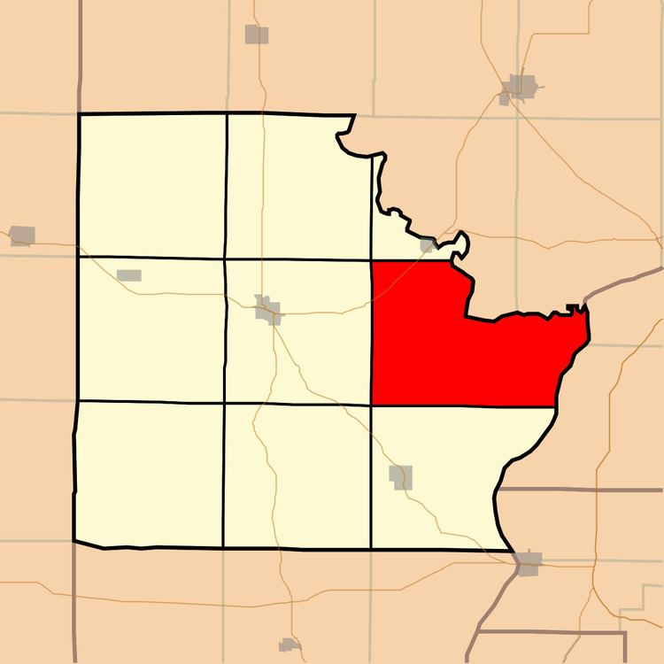
- Map of Cooperstown Township IL USA
- Geography
- Unincorporated towns
- Cemeteries
- Major highways
- Lakes
- School districts
- Political districts
- References
Map of Cooperstown Township, IL, USA
Geography
According to the 2010 census, the township has a total area of 41.45 square miles (107.4 km2), of which 40.67 square miles (105.3 km2) (or 98.12%) is land and 0.78 square miles (2.0 km2) (or 1.88%) is water.
Unincorporated towns
Cemeteries
The township contains these eleven cemeteries: Cooperstown, Cross Roads, De Witt, Elias Clark, Huffman, Hulett, Logan Creek, Logsdon Number 1, Logsdon Number 2, Perry and Tebo Burial Ground.
Major highways
Lakes
School districts
Political districts
References
Cooperstown Township, Brown County, Illinois Wikipedia(Text) CC BY-SA