
Population 519 (2011 census) LGA(s) Mid-Coast Council Postal code 2426 | Postcode(s) 2426 Local time Monday 10:38 AM | |
 | ||
Weather 23°C, Wind SW at 26 km/h, 67% Humidity | ||
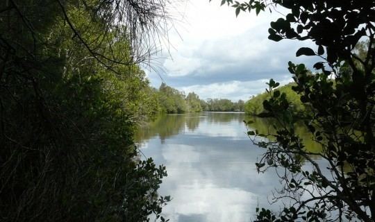
Coopernook is a village in mid-north New South Wales, Australia (post code 2426). It is located 24 kilometres north of Taree and 11 kilometres west of Harrington and is administered by Mid-Coast Council. At the 2011 census, Coopernook and the surrounding area had a population of 519 people. It was formerly situated on the Pacific Highway, until 22 March 2006, when the Coopernook Bypass was opened. The old highway crossed the Lansdowne River on a narrow iron girder bridge.
Map of Coopernook NSW 2426, Australia
The Coopernook Primary School in Macquarie Street was established in 1875, and in 2006 it had an enrolment of 81. Its enrolment in 2007 was a similar number.
Coopernook Post Office opened on 1 November 1876.
Early settlers included Calvin, Rose, Eggins, Gillogilly, Longworth, Latham and Buchanan. A sandstone obelisk erected in 1997 commemorates the combatants in World War I, World War II and the Vietnam War.