Established 1895 Founded 1895 Local time Monday 6:25 AM | Postcode(s) 6512 Elevation 220 m Postal code 6512 | |
 | ||
Weather 22°C, Wind SE at 3 km/h, 59% Humidity | ||
Coomberdale is a small town located along the Midlands Road between Moora and Watheroo in the Wheatbelt region of Western Australia.
Map of Coomberdale WA 6512, Australia
The Midland Railway Company constructed a railway siding in 1895 when the Midland to Walkaway line was opened. The town's name comes from a well that was named by the explorer Andrew Forrest when he surveyed a property for Edmund King who settled there in 1866.
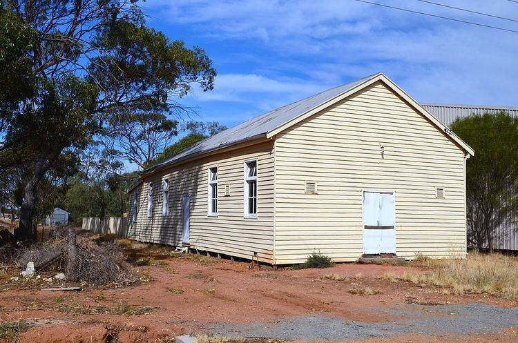
The Coomberdale Hall, a timber framed, weatherboard clad structure with a corrugated iron roof, was built in about 1920. It is now heritage listed, and used as an adjunct to the adjoining community centre.
The main industry in town is wheat farming with the town being a Cooperative Bulk Handling receival site.
A silicon producer, Simcoa, has a quartz mine close to the town. The mineral Simcoa mines there, Coomberdale chert, is situated in the Coomberdale (also known as Noondine) threatened ecological community which contains some threatened species such as Acacia aristulata and Cryptandra glabiflora.
