
Irish Grid Reference T036691 Local time Sunday 9:53 PM | Elevation 95 m | |
 | ||
Weather 4°C, Wind W at 21 km/h, 79% Humidity | ||
Coolboy official music video
Coolboy (Irish: Cúl Buí) is a village in County Wicklow in Ireland. It is located between Tinahely and Carnew, nestled in the middle of Holts Way, close to the scenic location of the Kilcavan Gap.
Contents
- Coolboy official music video
- Map of Coolboy Co Wicklow Ireland
- Location and access
- History
- Parish church
- Sights
- References
Map of Coolboy, Co. Wicklow, Ireland
Location and access
It is located on the R748 road which links the town of Aughrim with Carnew (via the R747). The village is situated near the southern point of the Wicklow Way which winds through the Wicklow Mountains.
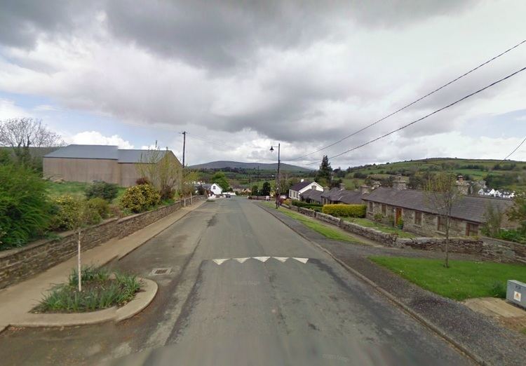
See the Street View of Coolboy on Google Maps
History
Most of the village dates from the early part of the 19th century. In this time the area was dominated by the Fitzwilliam family who lived in nearby Coolattin House. The Coolattin estate once comprised 88,000 acres (360 km2), had 20,000 tenants and occupied almost a quarter of County Wicklow.
Parish church
Coolboy is unusual in that there is no church in the village. The closest church lies 2 km to the south of the village in the nearby village of Coolafancy, as does the only primary school in the area.