
Population 3,261 (2011 census) Area 3 km² | ||
 | ||
Location 19 km (12 mi) from Melbourne | ||
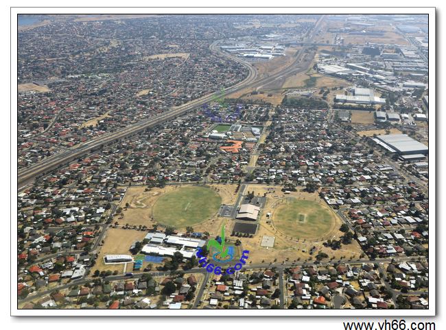
Coolaroo is a suburb of Melbourne, Victoria, Australia, 19 km north of the Melbourne CBD. Its local government area is the City of Hume. At the 2011 Census, Coolaroo had a population of 3,261.
Contents
Map of Coolaroo VIC 3048, Australia
Coolaroo is an Aboriginal word for 'star'. The popular 1997 Australian film The Castle was set in Coolaroo, although the house featured was actually located in Strathmore. Coolaroo railway station opened to passengers on Sunday 6 June 2010, almost 40 years after plans for a station first surfaced.
Education
Facilities
Most of the shopping centres near Coolaroo are located in neighbouring suburbs, including Meadow Heights which has Centro Meadow Heights and Dallas Shopping Centre, to the south.
References
Coolaroo, Victoria Wikipedia(Text) CC BY-SA