
Elevation 488 m (1,601 ft) Dialing code 0746 Area 53.5 km² Region Latium | Time zone CET (UTC+1) Website Official website Local time Sunday 1:46 PM Postal code 02043 Dialling code 0746 | |
 | ||
Weather 7°C, Wind E at 13 km/h, 93% Humidity | ||
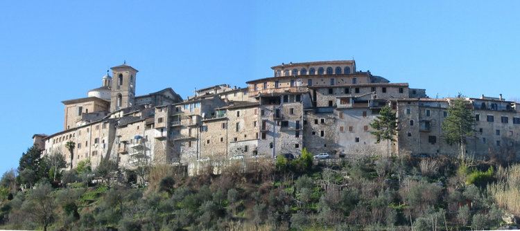
Contigliano is a comune (municipality) in the Province of Rieti in the Italian region Latium, located about 60 kilometres (37 mi) northeast of Rome and about 8 kilometres (5 mi) west of Rieti. As of 31 December 2004, it had a population of 3,432 and an area of 53.5 square kilometres (20.7 sq mi).
Contents
Map of 02043 Contigliano Province of Rieti, Italy
Contigliano borders the following municipalities: Casperia, Colli sul Velino, Cottanello, Greccio, Montasola, Rieti.
Transport
Contigliano has a station on the Terni–Sulmona railway, with trains to Terni, Rieti and L'Aquila.
References
Contigliano Wikipedia(Text) CC BY-SA