
Established 1866 Time zone EST (UTC-5) Area 1,112 km² | Founded 1690 Elevation 65 m (213 ft) Area code(s) +53-48 Local time Saturday 9:47 PM | |
 | ||
Weather 22°C, Wind NE at 18 km/h, 75% Humidity | ||
Consolación del Sur is a municipality and town in the Pinar del Río Province of Cuba. Also called the Athens of Vueltabajo, was founded in 1690.
Contents
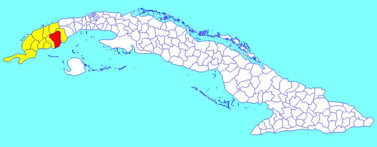
Map of Consolacion del Sur, Cuba
Geography
It is located in a major rice-growing area; tobacco is also cultivated as in much of the Pinar del Río Province.
The municipality is divided into the barrios of Alonso de Rojas, Arroyo Colorado, Ceja de Herradura, Colmenar, Entronque de Herradura, Herradura, Jagua, Lajas, Legua, Leña, Puerta de Golpe, Palenque, Pilotos, Río Hondo, Ruiz, San Diego de los Baños, San Pablo, Santa Clara, Soledad and Villa.
Demographics
In 2004, the municipality of Consolación del Sur had a population of 87,500. With a total area of 1,112 km2 (429 sq mi), it has a population density of 78.7/km2 (204/sq mi).
Main sights
There are three churches in this town, one Roman Catholic parish (dedicated to "Nuestra Señora de la Candelaria", or Our Lady of the Purification) and two Protestant churches. The town has two parks; the Catholic church is near the central park. There is also the Consolación del Sur Municipal Museum.