
Existed: 1963 – present Length 11.7 km | Constructed 1963 | |
 | ||
County | ||
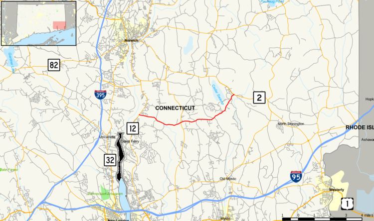
Route 214 is a state highway in southeastern Connecticut, running entirely within the town of Ledyard and servicing Foxwoods Casino. Route 214 runs east–west across the entire town.
Contents
Map of CT-214, Ledyard, CT, USA
Route description
Route 214 begins as Stoddards Wharf Road at an intersection with Route 12 on the Thames River in the western part of the town of Ledyard. Stoddard Hill State Park is located near the western terminus of the route. Route 214 heads generally east across the town, intersecting with Route 117 just north of the town center. East of Route 117, Route 214 follows Iron Street and Indiantown Road for about four miles (6 km). Route 214 ends at an intersection with Route 2 at the eastern edge of the Mashantucket Pequot Indian Reservation near Foxwoods Casino.
Route 214 is classified as a collector road. It carries average daily traffic of about 4,100 vehicles, except for the easternmost 210 yards (190 m) between the casino entrance and Route 2, which has an average daily volume of 10,600 vehicles. The easternmost section is the only four-lane part of Route 214; for the remaining 7.18 miles it is a narrow two-lane road.
History
Route 214 was designated in 1963 as part of the 1962 Route Reclassification Act. It has had assorted minor improvements since then to accommodate casino traffic.
The entire route is in Ledyard, New London County.