
Postal code 510900 Area 1,974 km² | Website www.conghua.gov.cn Local time Sunday 2:03 AM Area code 020 | |
 | ||
Country People's Republic of China Weather 19°C, Wind SE at 6 km/h, 85% Humidity Points of interest Shimen National Forest Park, Liuxihe National Forest Park, Tiantang Peak, Conghua Baoqu Rose Wor, Sanyatang Yougu | ||
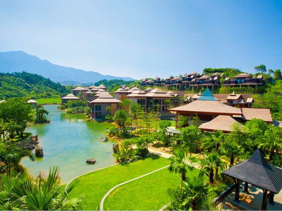
Conghua District, formerly romanized as Tsungfa, is an urban district of Guangzhou in central Guangdong, China. Conghua connects the Pearl River Delta with the mountainous area of northern Guangdong. Within China, it is known for its hot springs and lychees. It covers an area of 1,984 km2 (766 sq mi), with a population of 600,000. Its GDP was RMB10.369 billion (US$2,360 per person).
Contents
Map of Conghua, Guangzhou, Guangdong, China
History
Under the Qing, the area was known as Conghua County. It was subsequently upgraded to county-level city status and then, on 12 February 2014, to an urban district of Guangzhou.
References
Conghua District Wikipedia(Text) CC BY-SA