
Country United States FIPS code 19-15645 Elevation 186 m Zip code 52739 Population 426 (2013) | Time zone Central (CST) (UTC-6) GNIS feature ID 0455573 Area 93 ha Local time Saturday 8:58 AM Area code 319 | |
 | ||
Weather 3°C, Wind SE at 23 km/h, 61% Humidity | ||
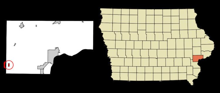
Conesville is a city in Muscatine County, Iowa, United States. The population was 432 at the 2010 census. It is part of the Muscatine Micropolitan Statistical Area.
Contents
Map of Conesville, IA 52739, USA
History
Conesville was once a depot on the Burlington, Cedar Rapids and Northern Railway. It was named for Beebe S. Cone, a landowner.
Geography
Conesville is located at 41°22′46″N 91°21′1″W (41.379323, -91.350211).
According to the United States Census Bureau, the city has a total area of 0.36 square miles (0.93 km2), all of it land.
2010 census
As of the census of 2010, there were 432 people, 132 households, and 105 families residing in the city. The population density was 1,200.0 inhabitants per square mile (463.3/km2). There were 153 housing units at an average density of 425.0 per square mile (164.1/km2). The racial makeup of the city was 57.6% White, 0.7% African American, 1.6% Asian, 38.2% from other races, and 1.9% from two or more races. Hispanic or Latino of any race were 63.0% of the population.
There were 132 households of which 52.3% had children under the age of 18 living with them, 50.0% were married couples living together, 15.9% had a female householder with no husband present, 13.6% had a male householder with no wife present, and 20.5% were non-families. 15.9% of all households were made up of individuals and 6.1% had someone living alone who was 65 years of age or older. The average household size was 3.27 and the average family size was 3.66.
The median age in the city was 29 years. 35.9% of residents were under the age of 18; 9.2% were between the ages of 18 and 24; 30.6% were from 25 to 44; 16.7% were from 45 to 64; and 7.6% were 65 years of age or older. The gender makeup of the city was 52.3% male and 47.7% female.
2000 census
As of the census of 2000, there were 424 people, 133 households, and 100 families residing in the city. The population density was 1,147.7 people per square mile (442.5/km²). There were 144 housing units at an average density of 389.8 per square mile (150.3/km²). The racial makeup of the city was 78.77% White, 0.24% Asian, 20.28% from other races, and 0.71% from two or more races. Hispanic or Latino of any race were 58.96% of the population.
There were 133 households out of which 42.1% had children under the age of 18 living with them, 54.9% were married couples living together, 13.5% had a female householder with no husband present, and 24.1% were non-families. 18.8% of all households were made up of individuals and 4.5% had someone living alone who was 65 years of age or older. The average household size was 3.19 and the average family size was 3.62.
In the city, the population was spread out with 36.3% under the age of 18, 7.8% from 18 to 24, 33.3% from 25 to 44, 14.2% from 45 to 64, and 8.5% who were 65 years of age or older. The median age was 28 years. For every 100 females there were 126.7 males. For every 100 females age 18 and over, there were 114.3 males.
The median income for a household in the city was $29,464, and the median income for a family was $30,000. Males had a median income of $28,000 versus $19,167 for females. The per capita income for the city was $10,097. About 11.1% of families and 13.9% of the population were below the poverty line, including 19.3% of those under age 18 and 4.9% of those age 65 or over.