
Length 63 mi (101 km) Trail difficulty Moderate to Strenuous | Use Hiking Season Year-round | |
 | ||
Location Lancaster County, Pennsylvania, United States Trailheads Horse-Shoe Trail, Mason-Dixon Trail | ||
Muddy trail running club the conestoga trail
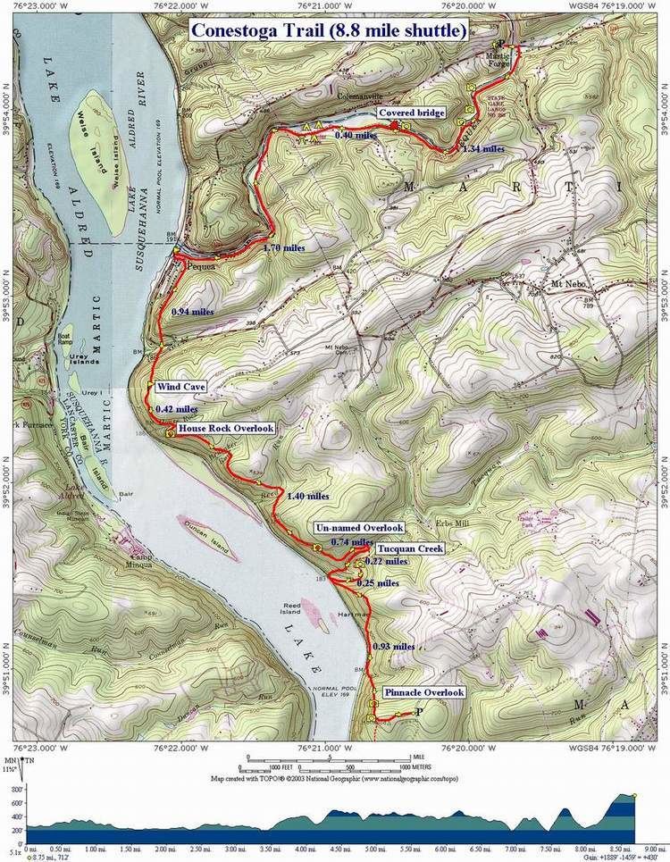
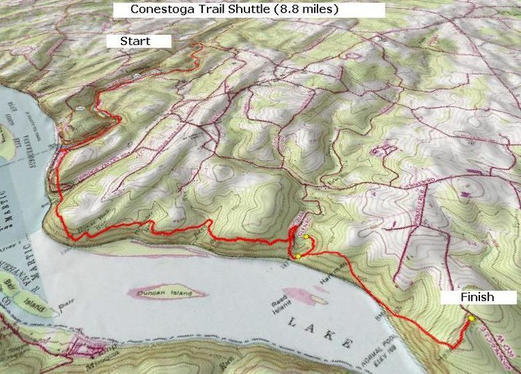
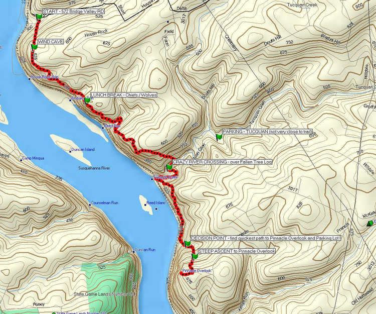
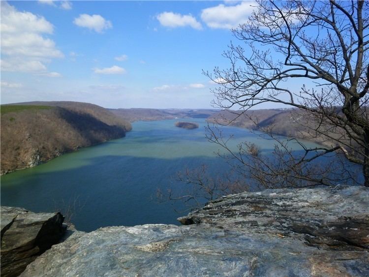
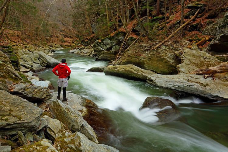
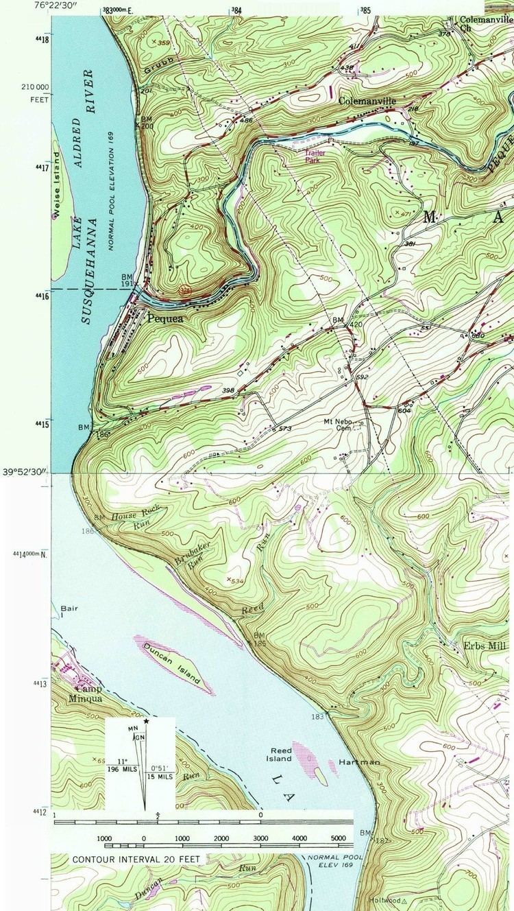
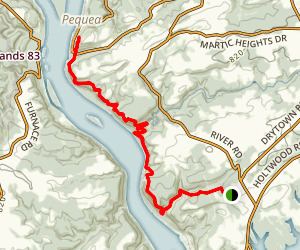
The Conestoga Trail System is an orange-blazed hiking trail that stretches 63 miles (101 km) through Lancaster County, Pennsylvania. The trail begins in the Furnace Hills about 16 miles (26 km) north of the city of Lancaster, where it intersects the Horse-Shoe Trail. It then winds its way south along various creeks through central Lancaster and County Central Park. From there it turns southwest to pass through the scenic and rather challenging river hills before crossing the Susquehanna River to reach the Mason-Dixon Trail in York County.
Contents
Conestoga trail 2 22 14


References
Conestoga Trail Wikipedia(Text) CC BY-SA