
Comarca Pallars Jussà Elevation 507 m Local time Saturday 10:13 AM | Website www.concadalt.cat Area 165.8 km² Population 443 (2014) | |
 | ||
Weather 6°C, Wind SW at 16 km/h, 84% Humidity Points of interest Noguera Pallaresa-Collegats, Cap de Boumort, Parc de les Olors de Claverol | ||
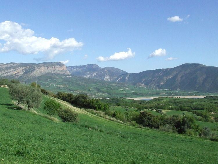
Conca de Dalt is a municipality in the comarca of the Pallars Jussà in Catalonia, Spain. The municipal territory extends to both the east and west of la Pobla de Segur, on the sides of the valley of the Noguera Pallaresa river. The municipality was known as Pallars Jussà from its formation in 1969 (by the fusion of twelve smaller municipalities) until 1995, when the name was changed to avoid confusion with the comarca.
Contents
Map of Conca de Dalt, Lleida, Spain
Subdivisions
The municipality of Conca de Dalt is composed of twelve settlements: populations are given as of 2005.
References
Conca de Dalt Wikipedia(Text) CC BY-SA