
Major cities London | ||
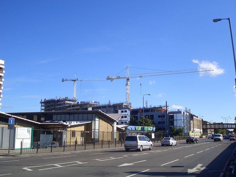 | ||
Walking down commercial road london
Commercial Road (part of the A13), 2 miles (3.2 km) in length, is in the London Borough of Tower Hamlets in the East End of London. It runs from "Gardiner's Corner" (on which stands Aldgate East tube station), through Stepney to the junction with Burdett Road (A1205), Limehouse from which point the route becomes the East India Dock Road. Commercial Road is an important artery connecting the traditional City of London with the more recently developed financial district at Canary Wharf.
Contents
- Walking down commercial road london
- Map of Commercial Rd London UK
- Holiday inn london commercial road set of beautiful pictures information of hotels in london
- References
Map of Commercial Rd, London, UK
Commercial Road was constructed in 1802–6 as a direct route to link dock traffic between the West India Docks and East India Docks to the City of London. An Act of Parliament awarded construction to the Commercial Road Company, whose trustees were allowed to raise money and levy tolls. The road originally began at Back Church Lane and cut a path across fields north of the busy Ratcliffe Highway. By the 1830s it was almost entirely lined with houses all the way to Limehouse.
Commercial Road carried so much traffic that the Commercial Road Company decided in about 1828 to construct a tramway of Aberdeen granite along the whole length. In the 1860s Commercial Road became a public road and road tolls were abolished. It was extended in 1865 to Gardiner’s Corner.
London's first mosque, the East London Mosque, opened on Commercial Road in 1941 and remained there until it was relocated to Whitechapel in 1975.
Buildings en route include:
Other nearby roads: