OS grid reference SO484965 Post town CHURCH STRETTON Local time Friday 11:36 AM | Sovereign state United Kingdom Postcode district SY6 Dialling code 01694 | |
 | ||
Weather 4°C, Wind E at 23 km/h, 98% Humidity | ||
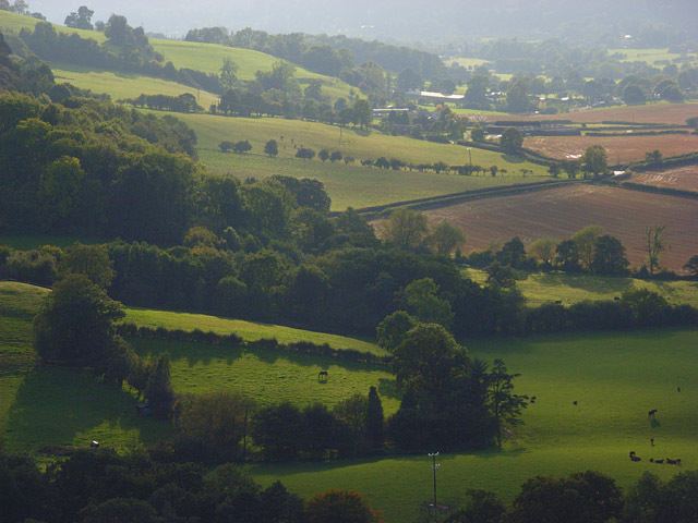
Comley is a hamlet in Shropshire, England. It is near the A49 road, to the northeast of Church Stretton.
Map of Comley, Church Stretton, UK
It is situated between two prominent hills: Caer Caradoc to the south and The Lawley to the north. The elevation of the hamlet is around 200 metres (660 ft) above sea level.
The hamlet is largely in the civil parish of Cardington, but Comley Farm is just within Longnor.
Shropshire Wildlife Trust have a nature reserve in the former Comley Quarry.
References
Comley Wikipedia(Text) CC BY-SA
