
Airport type Public Elevation AMSL 1,385 ft / 422 m 4,500 1,372 Phone +1 325-356-2175 | 17/35 4,500 Elevation 422 m | |
 | ||
Address 301 Industrial Blvd, Comanche, TX 76442, USA Similar Comanche County Jail, Comanche County Sheriff, Comanche County Clerk, Comanche City Hall, Brownwo Regional Airport | ||
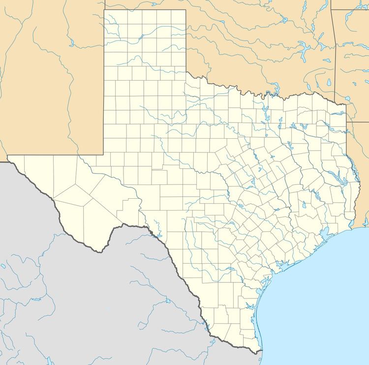
Comanche County–City Airport (ICAO: KMKN, FAA LID: MKN) is a public use airport located two nautical miles (2.3 mi, 3.7 km) northeast of the central business district of Comanche, a city in Comanche County, Texas, United States. It is owned by the City of Comanche and Comanche County. The airport is included in the FAA's National Plan of Integrated Airport Systems for 2011–2015, which categorized it as a general aviation facility.
Although many U.S. airports use the same three-letter location identifier for the FAA and IATA, this facility is assigned MKN by the FAA but has no designation from the IATA (which assigned MKN to Malekolon, Papua New Guinea).
Facilities and aircraft
Comanche County–City Airport covers an area of 85 acres (34 ha) at an elevation of 1,385 feet (422 m) above mean sea level. It has one runway designated 17/35 with an asphalt surface measuring 4,500 by 75 feet (1,372 x 23 m).
For the 12-month period ending August 6, 2008, the airport had 6,300 general aviation aircraft operations, an average of 17 per day. At that time there were 20 aircraft based at this airport: 85% single-engine, 5% multi-engine, and 10% helicopter.