
Founded February 4, 1832 Population 67,543 (2013) | Seat Lake City Area 2,075 km² Unemployment rate 5.3% (Apr 2015) | |
 | ||
Website www.columbiacountyfla.com Points of interest Ichetucknee Springs State Park, Rum Island Springs County P, Alligator Lake Park, Olustee Battlefield, Lake City Columbia County Hi | ||
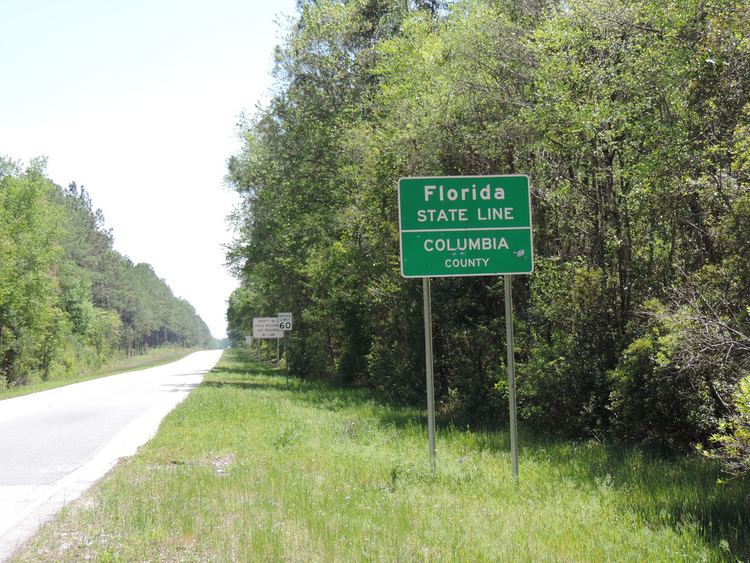
Columbia County county located in the U.S. state of Florida. As of the 2010 census, the population was 67,531. Its county seat is Lake City.
Contents
- Map of Columbia County FL USA
- History
- Geography
- National protected area
- Demographics
- Voter Registration
- Education
- Library
- Airports
- Major roads
- Railroads
- City
- Town
- Census designated places
- Other unincorporated communities
- References
Map of Columbia County, FL, USA
Columbia County comprises the Lake City, FL Micropolitan Statistical Area, which is included in the Gainesville-Lake City, FL Combined Statistical Area.
History
Columbia County was created in 1832. It took the name of Columbia, the poetic form for the United States.
In 1958, the Columbia Amateur Radio Society was formed. This was a group of amateur radio operators who enjoyed the ability to communicate all over the world. This radio club still exists today.
Geography
According to the U.S. Census Bureau, the county has a total area of 801 square miles (2,070 km2), of which 798 square miles (2,070 km2) is land and 3.8 square miles (9.8 km2) (0.5%) is water.
National protected area
Demographics
As of the census of 2000, there were 56,513 people, 20,925 households, and 14,919 families residing in the county. The population density was 71 people per square mile (27/km²). There were 23,579 housing units at an average density of 30 per square mile (11/km²). The racial makeup of the county was 79.72% White, 17.03% Black or African American, 0.53% Native American, 0.67% Asian, 0.04% Pacific Islander, 0.60% from other races, and 1.42% from two or more races. 2.74% of the population were Hispanic or Latino of any race.
There were 20,925 households out of which 32.10% had children under the age of 18 living with them, 53.70% were married couples living together, 12.90% had a female householder with no husband present, and 28.70% were non-families. 23.80% of all households were made up of individuals and 9.80% had someone living alone who was 65 years of age or older. The average household size was 2.56 and the average family size was 3.02.
In the county, the population was spread out with 25.40% under the age of 18, 9.00% from 18 to 24, 27.70% from 25 to 44, 24.00% from 45 to 64, and 14.00% who were 65 years of age or older. The median age was 37 years. For every 100 females there were 102.90 males. For every 100 females age 18 and over, there were 101.70 males.
The median income for a household in the county was $30,881, and the median income for a family was $35,927. Males had a median income of $27,353 versus $21,738 for females. The per capita income for the county was $14,598. About 11.40% of families and 15.00% of the population were below the poverty line, including 17.10% of those under age 18 and 13.60% of those age 65 or over.
Voter Registration
According to the Secretary of State's office, Democrats maintain a narrow plurality among registered voters in Columbia County.
Education
The Columbia County School District operates public schools.
Library
The Columbia County Public Library consists of 3 branches.
Airports
Columbia County's main airport is Lake City Municipal Airport. Private airports also exist throughout the county.
Major roads
Railroads
Columbia County has at least three existing railroad lines. The primary one is a CSX line formerly owned by the Seaboard Air Line Railroad that served Amtrak's Sunset Limited until it was truncated to New Orleans in 2005 by Hurricane Katrina. Lake City (Amtrak station) was Columbia County's only active railroad station until that point. Another one is owned by the Georgia Southern and Florida Railway, and runs along US 41 from Lake City through Hamilton County. A third line runs along SR 100 into Union County.