
 | ||
The metropolitan areas of the State of Colorado include the urban statistical areas defined by the United States Office of Management and Budget and regions of urban population defined by other organizations.
Contents
Census statistical areas
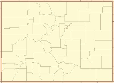
The United States Office of Management and Budget (OMB) has defined one Combined Statistical Area (CSA), seven Metropolitan Statistical Areas (MSAs), and seven Micropolitan Statistical Areas (μSAs) in the State of Colorado. At the 2010 United States Census, 91.86% of Coloradans lived in one of these areas.
The following table describes the census statistical areas of the State of Colorado with the following information:
- The Combined Statistical Area (CSA) as designated by the OMB
- The CSA population as of July 1, 2011, as estimated by the United States Census Bureau
- The Core Based Statistical Area (CBSA) as designated by the OMB
- The CBSA population as of July 1, 2011, as estimated by the United States Census Bureau,
- The county
- The county population as of July 1, 2011, as estimated by the United States Census Bureau,
- The county population as of April 1, 2010, as enumerated by the 2010 United States Census,
- The percent county population change from April 1, 2010, to July 1, 2011.
Other urban regions
In addition to the U.S. Census Bureau defined areas above, there are several other defined regions of urban population in Colorado.
Denver Core Metropolitan Area
The four-county Denver Core Metropolitan Area dates from the creation of the City and County of Denver in 1902.
Denver Central Metropolitan Area
The six-county Denver Central Metropolitan Area also includes Douglas County and the City and County of Broomfield.
Denver Region
The nine-county Denver Region of the Denver Regional Council of Governments also includes Boulder County, Clear Creek County, and Gilpin County.
North Central Colorado Urban Area
The 13-county North Central Colorado Urban Area comprises the four contiguous Metropolitan Statistical Areas of north central Colorado.
South Central Colorado Urban Area
The four-county South Central Colorado Urban Area comprises the Colorado Springs Metropolitan Statistical Area, the Pueblo Metropolitan Statistical Area, and the Cañon City Micropolitan Statistical Area.
Front Range Urban Corridor
The 18-county Front Range Urban Corridor comprises the eight contiguous Core Based Statistical Areas from Cheyenne to Pueblo.
The Front Range Urban Corridor encompasses the 13-county North Central Colorado Urban Area, the four-county South Central Colorado Urban Area, and Laramie County, Wyoming.
Metropolitan Planning Organizations
The five Metropolitan Planning Organizations (MPOs) in Colorado are: