
Length 55.2 km | ||
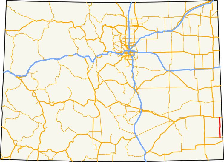 | ||
State Highway 89 (SH 89) is a 34.3 mi (55.2 km) long state highway in the rural eastern plains of Colorado.
Contents
Map of CO-89, Holly, CO 81047, USA
Route description
SH 89 begins in the north at the junction with US 50/400 in Holly and proceeds south out of Holly through rural countryside, isolated from any other towns. Although the highway is the main route from the unincorporated town of Lycan to Holly, there are no major junctions. The highway comes to a stop at the intersection with SH 116 at the small community of Buckeye Crossroads (population: 7). The road continues as an unpaved county road further south after the intersection.
References
Colorado State Highway 89 Wikipedia(Text) CC BY-SA