
Length 34.98 km | ||
 | ||
Counties Denver, Arapahoe County, Colorado | ||
State Highway 88 is a state highway in Denver and Arapahoe counties within the U.S. state of Colorado.
Contents
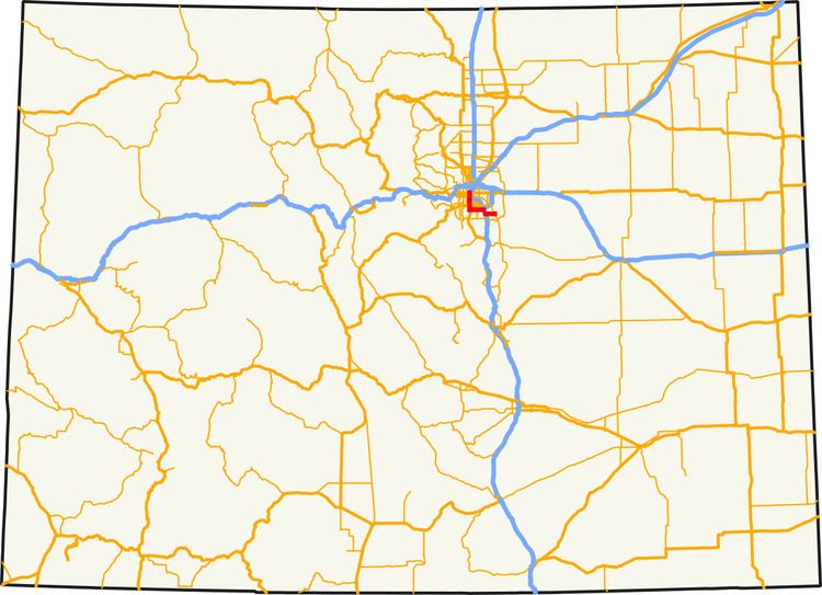
Map of CO-88, Colorado, USA
Route description
SH 88 is 21.7 miles (34.9 km) long, starting at the intersection of Colfax Avenue (U.S. Route 40) and Federal Boulevard in Denver, going south on Federal to Belleview Avenue, then east on Belleview until its interchange with Interstate 25 The highway leaves I-25 after two interchanges for Arapahoe Road, and continues east until its terminus with at Parker Road (State Highway 83).
References
Colorado State Highway 88 Wikipedia(Text) CC BY-SA